
Time of the year: from spring to autumn
Duration: about 6:30 hours
Length: 14 Km
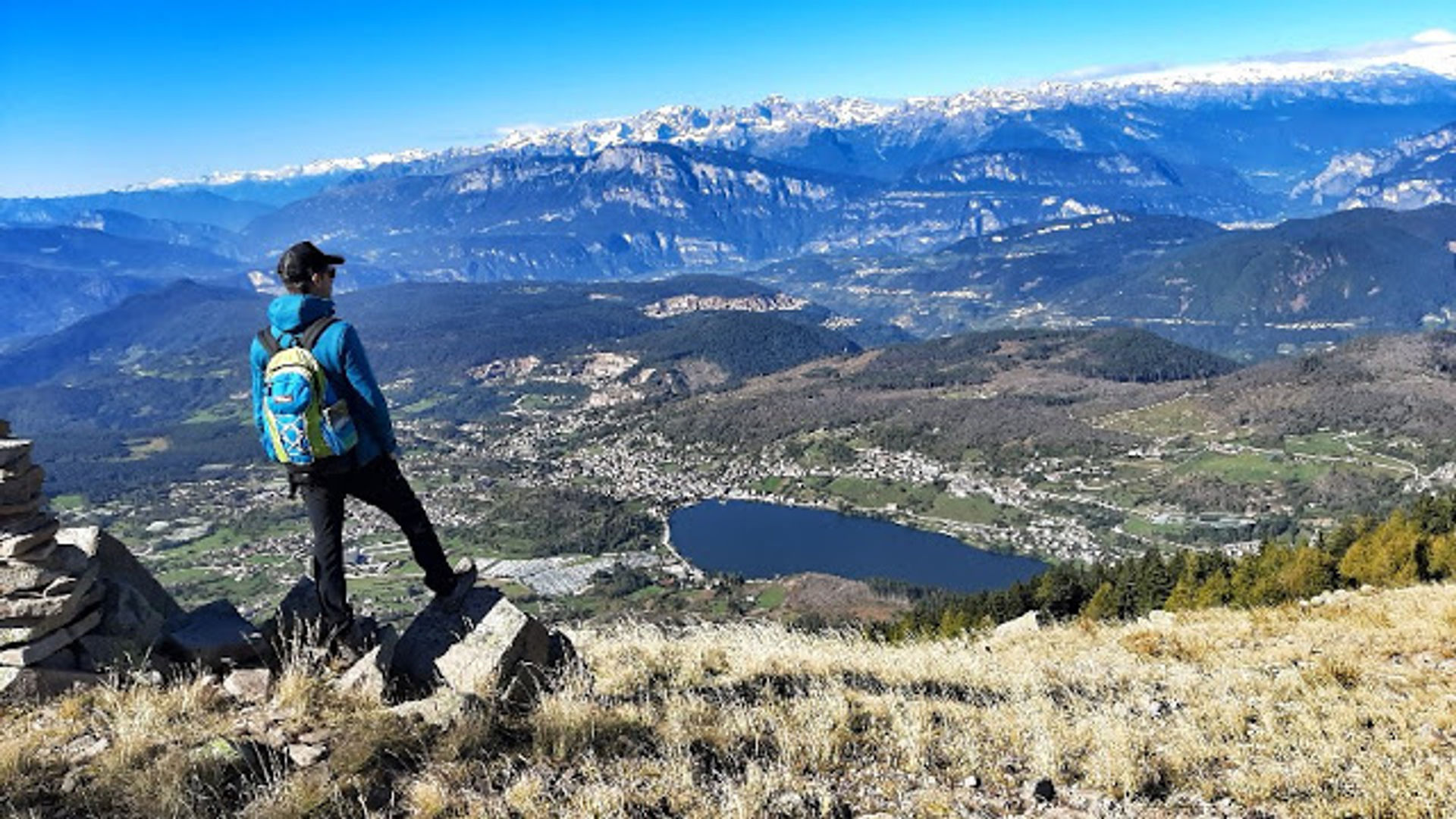
From up there, the view is wonderful and extends from the eastern end of the Brenta Dolomites' arch (westwards) to the Lagorai range and the Dolomites (eastwards). From the top, you can either go back the way you came or continue past Malga Cambroncoi to Passo del Redebus.
There are no refreshment point along the way to the top so bring the necessary food and drinks for the hike.
The route in detail
The hike can be completed as a out-and-back on the same route, or extended towards the Redebus Pass via Malga Cambroncoi. From Miola take the SAT path E 404 to Baracca della Casara (1658 m). This first section is partly on a forest road and partly on the path that repeatedly "cuts" across the dirt road. At Baracca della Casara (a cosy bivouac), a path begins (again no. 404) that climbs the mountain with wide hairpin bends and, in a few tens of minutes, leads to the summit with its gentle morphology, overcoming a difference in altitude of around 300 metres. If you wish to avoid returning by the same route, it is possible to lengthen the hike towards the Redebus Pass, passing by Malga Cambroncoi and then circling around Sas de Sant'Orsola. From the pass to Baselga di Piné, the route presents no difficulty: about ten kilometres first downhill and then flat.
Learn more about the itinerary on Outdooractive
Learn more about all hiking itineraries
Image gallery


Start point

Contacts