Time of the year: from spring to autumn
Duration: 2 hours and 30 min
Length: 7 Km
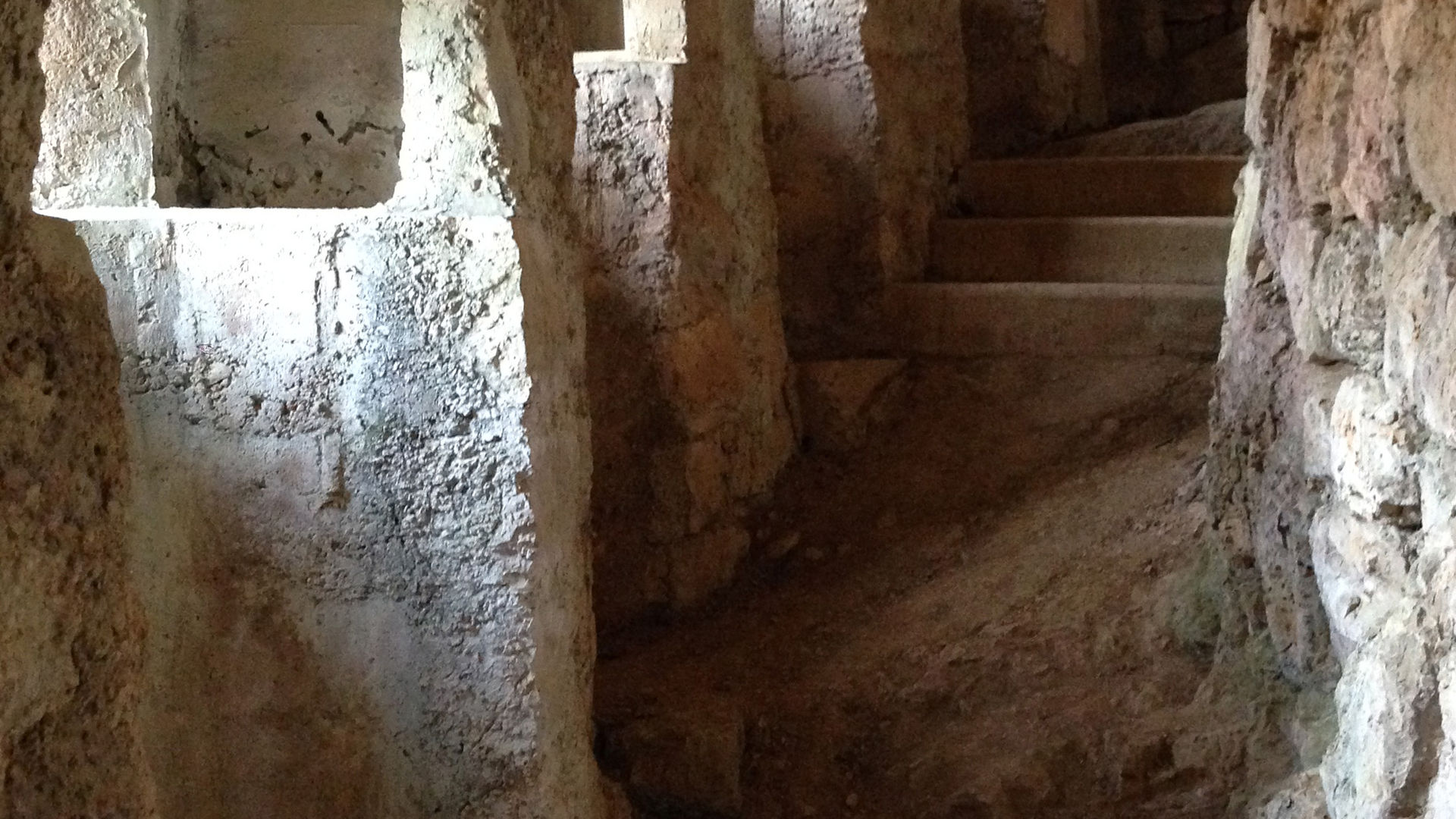
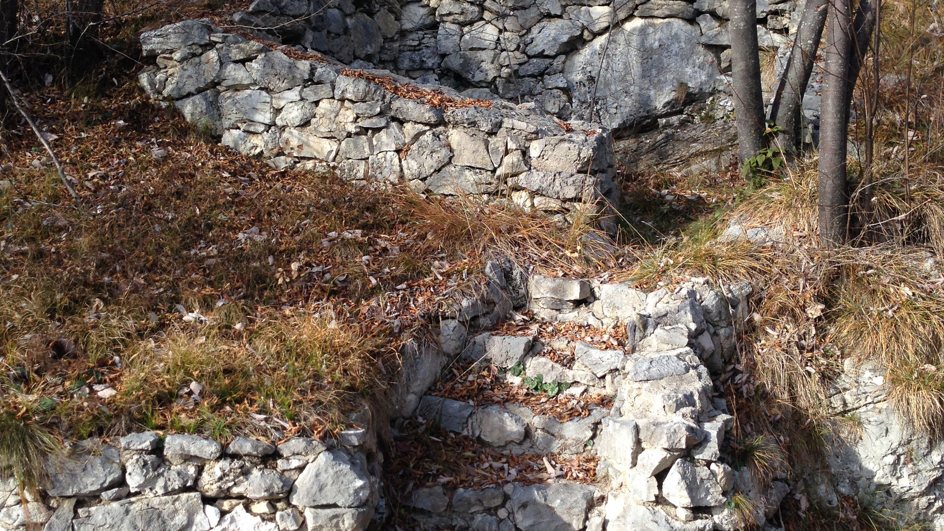
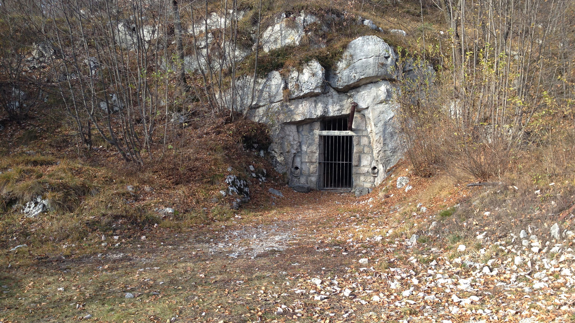
From Fer de Caval, the route follows the paved road East and then South, where it becomes a gravel road. It climbs up in the woods, around a hairpin bend and a few other turns, and reaches Val Granda, where the road becomes flat. A turn-off to the left, marked by tables SAT 627, suggests a further climb, this time following a mule trail. You soon reach a restored Austro- Hungarian work, the “Fuciliera”, and then continue, with a few bends, towards the Eastern edge of the Sorasas, which provides an aerial view of Valle dell’Adige north of Trento. The mule track reaches a series of caves, and an observation point called “Pontesel” (balcony), from which the view embraces the six hundred metres that separate it from the bottom of the valley. Two hairpin bends now lead to the northern section of the mountain, far from the edge of the cliff, thus making it possible to descend to other defensive stations in Spazadomeneghe. After retracing your steps, you go down some more to an ample clearing, where a dirt road starts - full of bends - leading back to the starting point.
Learn more about the walks and trails of Monte Bondone and the Piné Plateau
Image gallery


mappa / map / Karte
The path
Don’t miss
Military structures, breath-taking views, woods, the town of Cadine, the Fort.
Infos
For those who wish to reach Fer de Caval on foot, it is possible to get off at the bus stops in Cadine or Soraval. Furthermore, from the square of Cadine, it is possible to walk down to the Bus de Vela fort (cross-road gate), which is open for visits.
Start point

Contacts
APT Trento, Monte Bondone
Piazza Dante, 24 - 38122 Trento
Ph.: +39 0461 216000