Time of the year: from spring to autumn
Duration: about 2 hours
Length: 3,5 Km
- You are in:
- Home
- Outdoor in Trento, Monte Bondone, Piné Plateau.
- Trekking in Trentino
- Vason-Palon-Vason
Vason-Palon-Vason
This is a route that can be taken by climbing or descending with the ski-lift. The description refers to climbing on foot. Near the Vason pass, going around the first building, a path starts on a slight incline, passing beneath the Palon ski-lift, crossing the skiing slope and then joining the military mule track called Sentiero dei Mughi. The route climbs the northern face of the Palon, always on a slight incline, except for a few steeper areas, where the path must overcome a few less visible areas of the mule track. At an altitude of 1940 m a small road leads to the Mugon crest, where you will find the ruins of an Austro-Hungarian observatory and the anti-avalanche apparatus. The spot has a beautiful view. Once you have returned to the road, you can continue to climb along the path, which still flanks the ski-lift, and soon you reach the skiing slope that descends from the Palon peak. A few more metres and you reach the plain where the top station of the ski-lift is, dominated by the high telecommunications tower on the peak. During the climb it is possible, with a few detours, to visit some Austro-Hungarian military structures. The lowest one is in the process of refurbishment, and the path that connects the walkways is still not well marked. At a greater altitude, following the indications provided by the tables, it is possible to visit the five caves built in a valley and the “generator cave”, which was home to an electricity generator unit serving all the posts on the Palon peak. To return to the bottom you take the ski-lift. Alternatively, you can follow the dirt road that serves the infrastructures located at the top which, following the Rocce Rosse skiing slope, leads to the Viote plateau, on the north-western face of the Palon. Once you reach the passage beneath the road, you leave the slopes and head north-east, following the panoramic walk described in route “Viote-Vason-Viote”.
Learn more about the walks and trails of Monte Bondone and the Piné Plateau

mappa / map / Karte


The path
Don’t miss
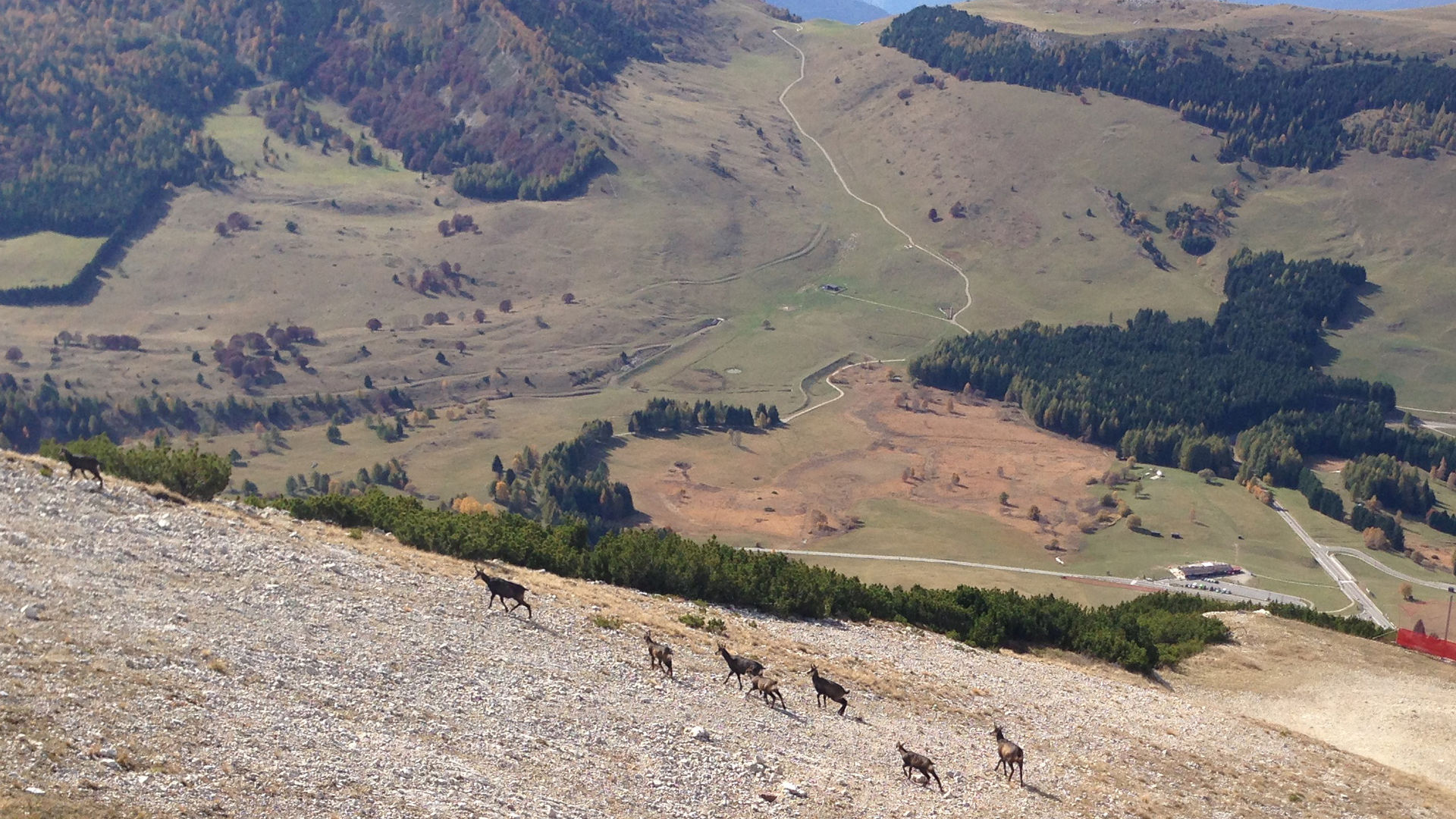
Trails and fortifications of the Great War, views, chamois of the Palon
Difficulty
medium
Duration
about 2 hours
Difference in altitude
450 metres
Total length
3,5 Km
Route type
circular route
Departure altitude
1653 MASL
Arrival altitude
2098 MASL
Maximum altitude
2098 MASL
Start point

Contacts
APT Trento, Monte Bondone
Piazza Dante, 24 - 38122 Trento
Ph.: +39 0461 216000
esempi di as xml: xml serveResource con templateId (chiave)
esempi di as json: json serveResource con templateId (chiave)
esempi di as json e siteId: json serveResource con siteid
Your request was sent successfully
The sending of the request was not successful
I consent to the transfer of my personal data to the recipient of my request for sending the requested information (privacy policy)
