
Time of the year: from spring to autumn
Duration: 2 hours 30'
Length: 6,7 Km
Baita SAT
Starting from the Viote barracks, go up along what was the old military road, then follow the signs for the SAT hut. At the end of the road, take path 626, which retraces the path that connected the various positions in the sector, with beautiful views of the Adige valley. Once you reach the SAT hut, head to the Parolet, which can be climbed with a short detour. Then take path 692 which leaves almost immediately taking an unnumbered path on the right that leads to the main road; from there in a few minutes you return to the barracks.
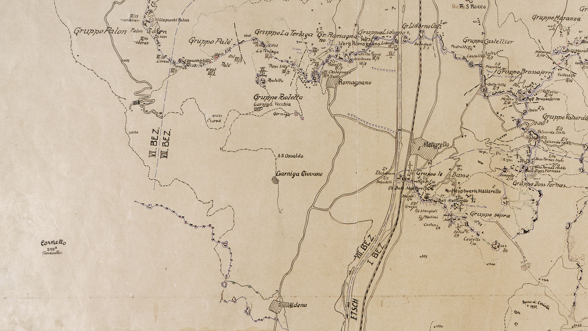
The VII sector of the Fortress started from Monte Bondone and went down to the town of Romagnano and the Adige Valley.
Discover all the trekking routes of the Great War in Trento and surroundings.
Image gallery


The path
Nineteenth-century fortifications in Sector VII
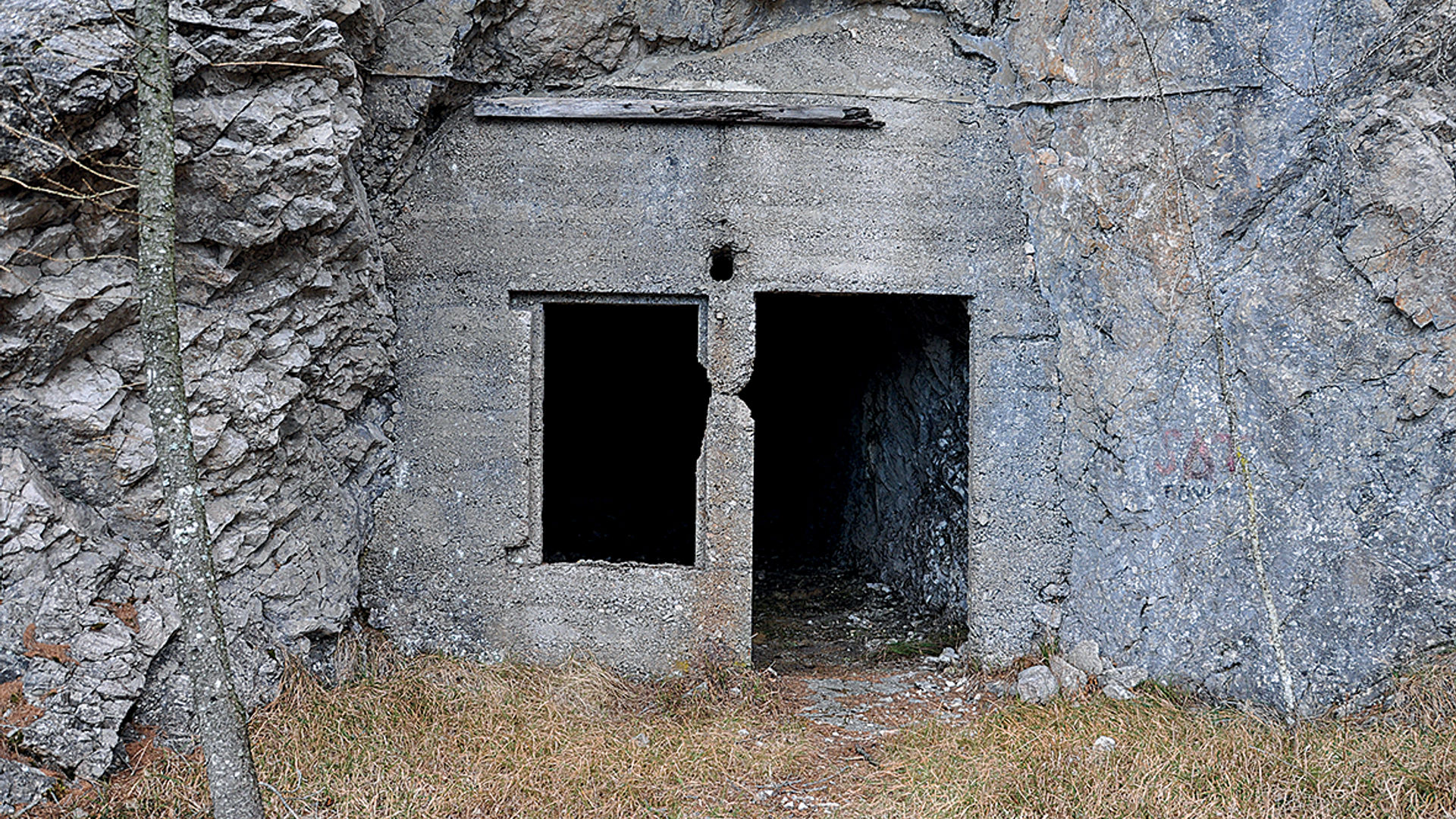
Fort Romagnano
- year of construction: 1896-1899
- typology: fort
- ownership: private
- opening to the public: no
- state of preservation: restored
Start point

Contacts
APT Trento, Monte Bondone
Piazza Dante, 24
38122 Trento
Ph.: +39 0461 216000