Time of the year: from spring to autumn
Duration: 2 hours and 30 min
Length: 7 Km
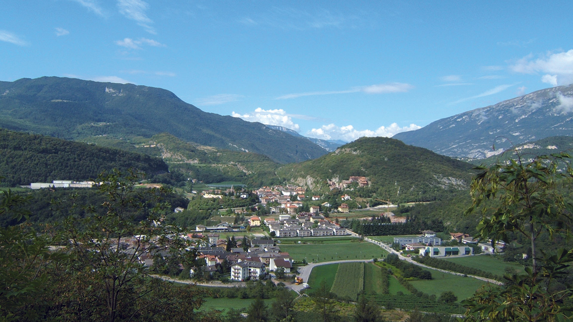
veduta di Cadine
This is a rewarding circular excursion, featuring some interesting military sites, breathtaking views from dizzy heights, along several old trails. From Càdine, you cross the crafts estate, headed North- East, until you reach a large white stone cross. Continue straight ahead for another 100m up until you reach several signs, then continue left to the car park at Fer de Caval. The route begins here (information signs) and continues, in a counterclockwise direction, through thick woodland. At the eve of World War I, a series of important military defence works were built in the area of Càdine, and in the nearby locations of Vintitrè Pini, Poza dei Pini, including, on the left, the military road with a Fuciliera, an interesting military facility, which has now been restored and opened to the public. It includes a trench, a 40m long tunnel, 11 casemate emplacements and various other emplacements. Back on the original route, there is a stretch of the main trail, a stretch of the San Vili Trail, dedicated to the patron saint of Trento, Saint Vigilius, who during his evangelisation mission, in the 4th century, travelled a number of times along this 95 km route, from the Vela di Trento to Madonna di Campiglio. Continuing north, you come to a number of military sites, including various stoi (shelters in natural caves) and the pontesel, an extraordinary observation point at the top of a sheer precipice 500 metres high; quite an eagle’s nest. On the way back, you pass through Spazadomeneghe and Poza de la Casara, passing an old lime furnace, which is a relic of one of the ancient crafts practised in the valley, before returning to the Fer de Caval. Alongside the tunnel leading back to Trento is the Forte Bus de Vela Fort, one of the most important fortifications in the whole of Trentino.
Discover all the urban trekking itineraries in Trento and surroundings.
Image gallery


La fuciliera - Cadine Sorasass

la Poza dei Pini - Cadine Sorasass

fortificazioni - Cadine Sorasass

trekking Cadine Sorasass
Start point

Contacts
APT Trento, Monte Bondone
Piazza Dante, 24 - 38122 Trento
Phone: +39 0461 216000